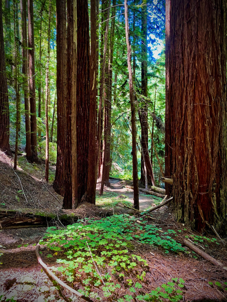
The Forest of Nisene Marks is a beautiful place to explore near Aptos, California. Located just off Highway 1 near Santa Cruz, this 10.1-mile out-and-back trail is a popular destination for birding, hiking, and mountain biking. The trail is open year-round and offers stunning views of the surrounding forest and river.
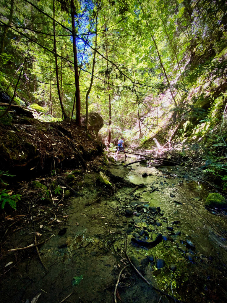
In all of the Bay Area trails I have hiked, this is personally my favorite trail because it integrates each of my favorite things: Waterfalls, stream hiking, incredible trees, mild sloping hills, canopy coverage nearly the entire hike, neat bridges, history, few bugs, redwoods, and even random sprouting bamboo! I have personally hiked this trail about 10 times in the past two years and when people ask me to suggest a trail, this is the one I either tell them about or, better yet, bring them on!

While the trail is generally considered moderately challenging, it takes an average of 3 h 47 min to complete. The trail starts out easy and quickly becomes more moderate, with some steep sections and river crossings. As you get closer to Maple Falls, the trail becomes more challenging, but the reward of reaching the waterfall is worth it. There are lots of different ways you can complete this trail as well. There are some intersecting routes that will take you on alternate paths- most all of them will eventually take you back to the parking lot where you started.
The Forest of Nisene Marks is a great place to enjoy nature and get some exercise. Keep in mind that dogs are not allowed on this trail, so you’ll need to leave your furry friends at home.

To get to the trailhead, take Aptos Creek Road to the park entrance kiosk. Parking is around $8 (as of 2022) and you can buy annual passes as well. The road quickly becomes a packed dirt road that can be driven by all types of vehicles. Continue on the dirt road to the Porter Family Picnic Area, where you’ll find the trailhead. The trail starts on the Loma Prieta Grade Trail, which you’ll follow for about 0.5 miles before bearing right at the fork and switching over to the Bridge Creek Trail. Follow this trail all the way to Maple Falls, which is about 3 miles from the trailhead. When the park is too full (which sometimes happens), you can actually park at the Safeway in Aptos and stroll due north through a neighborhood to enter the park through some other pathways. This will make your total hike to Maple Falls about 12 miles up and back. However, you can also meander through these trails and have some great adventures (especially with younger kids- a great place to visit).

If you’re visiting during the winter, keep an eye out for the winter gate on the Aptos Creek Fire Road. If this gate is closed, you’ll need to leave your car at the George’s Picnic Area and walk to the Porter Family Picnic Area to start the trail. This will add about 1 mile each way, for a total of 2 extra miles roundtrip.
Overall, the Forest of Nisene Marks is a beautiful and serene place to explore, and the trail to Maple Falls is a must-see. Want the perfect ending to this hike? Grab some adult beverages and head to the beach not too far away to catch the sunset. Then finish the night with some of the close by restaurants and a scoop at Marianne’s Ice Cream. The best day you’ll have!


